
Advancing Forest Monitoring in Tropical Landscapes
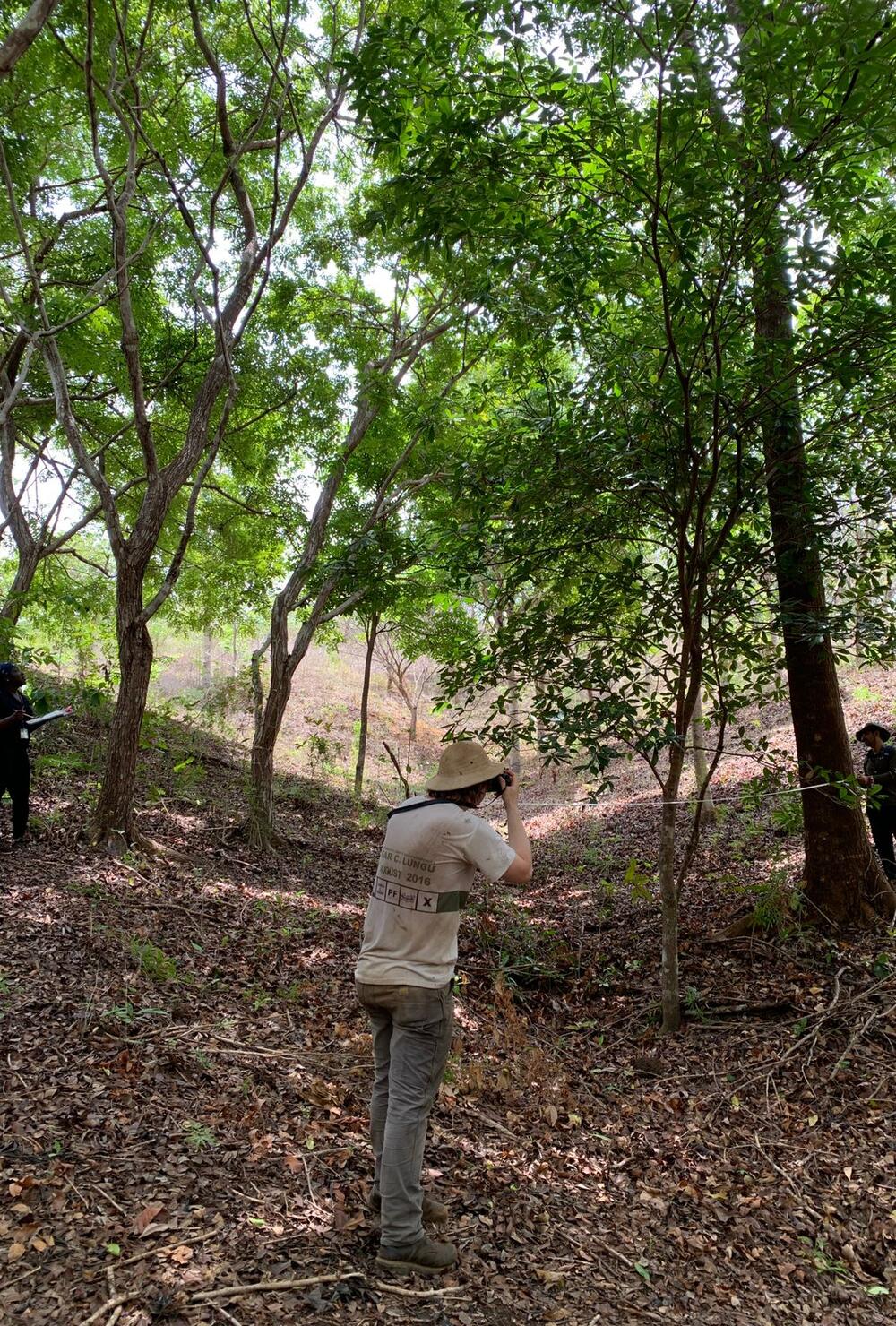
Azuero Tropical Dry Forest, Panama
Photo Credit: Jacob L. Slusser, Global Training Landscapes Manager, CATHALAC
Effective forest monitoring systems are essential for detecting forest loss, informing policy responses, supporting enforcement, and enabling participation in climate finance mechanisms, particularly in tropical regions where deforestation and degradation occur rapidly and across large spatial scales (Tang et al., 2023; Reiche et al., 2024). Tropical forests function as major carbon sinks and support exceptionally high levels of biodiversity, yet ongoing land-use change continues to drive emissions and ecosystem decline through disturbances that are often spatially diffuse, heterogeneous, and difficult to detect (Tang et al., 2023). These conditions make tropical forest monitoring technically demanding, especially because persistent cloud cover, high ecological variability, and rapid land-use transitions can complicate both the detection and validation of forest change (Reiche et al., 2024; González-Vélez et al., 2026). As a result, literature increasingly frames tropical forest monitoring as a foundational element of climate mitigation, biodiversity conservation, sustainable land management, and climate finance readiness. These constraints necessitate more advanced and integrated monitoring approaches than in many temperate systems.
Historically, forest monitoring relied on field-based inventories that provided detailed insights into forest structure and composition but were limited in spatial and temporal coverage. These approaches, often referred to as ground-based measurements or “ground-truthing” when used to validate remote sensing data, remain critical but insufficient on their own for large-scale monitoring (Batjes et al., 2024). The expansion of satellite-based remote sensing has enabled a transition toward continuous, large-scale observation systems capable of capturing forest dynamics across diverse tropical regions. These approaches are now widely regarded as indispensable for tracking deforestation and degradation, particularly in remote and inaccessible landscapes (Tang et al., 2023).
Recent advances have therefore focused on integrating multiple data sources to improve both the accuracy and timeliness of disturbance detection. Studies demonstrate that combining optical imagery, which captures surface reflectance, with radar-based systems, which can penetrate cloud cover and provide structural information, significantly enhances monitoring performance (Reiche et al., 2024; Tang et al., 2023). These multi-sensor approaches, often referred to as integrated monitoring methods, allow for more consistent observation and are better suited to detecting a range of disturbance processes, including selective logging, fire, and small-scale clearing that may otherwise go unnoticed (Reiche et al., 2024). As a result, these integrated approaches are increasingly being operationalized in national and global monitoring platforms, reflecting a broader shift toward near-real-time forest surveillance (Tang et al., 2023).
At the institutional level, forest monitoring has been formalized through the development of National Forest Monitoring Systems, particularly under frameworks such as REDD+. These systems are typically implemented by national forestry agencies, environmental ministries, and associated research institutions, and are designed to integrate remote sensing-derived activity data with ground-based measurements to produce consistent estimates of forest area change, carbon stocks, and emissions (Belize Forest Department, 2021; Ghana Forestry Commission, 2018). Evidence from these national implementations highlights that effective systems rely on the integration of greenhouse gas inventories, safeguards monitoring, and data management platforms (Belize Forest Department, 2021). The literature also emphasizes that system effectiveness depends not only on technical design but also on institutional capacity, data accessibility, and coordination among stakeholders (Batjes et al., 2024).
Governance and socio-institutional factors are consistently identified as critical determinants of monitoring effectiveness. Studies show that stakeholder engagement, local knowledge integration, and participatory monitoring approaches can enhance both data quality and system legitimacy (Kayumba et al., 2025). In tropical landscapes where communities are closely linked to forest resources, participatory approaches have been shown to improve monitoring outcomes while supporting local ownership and long-term sustainability (Kayumba et al., 2025). This aligns with broader landscape-level research, which emphasizes that monitoring systems must be embedded within governance frameworks that enable negotiation, learning, and adaptive management (Birch et al., 2010).
Measurement, Reporting, and Verification (MRV) frameworks further reinforce the role of forest monitoring by providing standardized methodologies for quantifying carbon stock changes and ensuring transparency in climate mitigation efforts. These frameworks integrate remote sensing, field inventories, and modeling approaches to generate verifiable estimates of emissions and removals (Batjes et al., 2024). However, the literature highlights ongoing challenges in harmonizing methodologies across ecosystems and improving monitoring accuracy, particularly in data-scarce regions (Batjes et al., 2024). As a result, there is increasing emphasis on modular and flexible MRV systems that can be adapted to diverse ecological and institutional contexts.
Beyond advances in detection and reporting, literature increasingly highlights the importance of expanding monitoring frameworks to capture broader dimensions of ecosystem conditions. Monitoring approaches solely focused on forest cover are often insufficient to detect degradation, recovery, and changes in ecosystem function (Sutton et al., 2026). Studies on tropical and dryland systems demonstrate that widely used vegetation indices may fail to capture key components of ecosystem dynamics, particularly non-photosynthetic vegetation and soil conditions (Sutton et al., 2026). In response, researchers have proposed integrated monitoring networks that incorporate multiple indicators, including vegetation fractional cover, soil moisture, and landscape structure, to provide a more comprehensive assessment of ecological integrity (Kayumba et al., 2025).
Integrating monitoring with restoration and landscape management is also increasingly emphasized in the literature. Monitoring systems are used not only to detect forest change but also to guide restoration planning, evaluate intervention outcomes, and support adaptive management (Birch et al., 2010). Spatial analyses of ecosystem services demonstrate that restoration outcomes vary significantly across landscapes and that passive or assisted regeneration can often deliver substantial ecological benefits relative to cost (Birch et al., 2010). These findings reinforce the importance of using monitoring data to prioritize interventions and align restoration strategies with local ecological and socio-economic conditions.
Looking forward, advances in artificial intelligence, including machine learning and deep learning techniques, are expected to further transform forest monitoring. These approaches enable the analysis of large and complex datasets, improving the detection and classification of land-use change in heterogeneous tropical landscapes (González-Vélez et al., 2026). Semi-supervised models that integrate optical and radar data have demonstrated high accuracy in challenging environments such as tropical dry forests, while deep learning approaches to biomass estimation have enhanced the ability to monitor carbon stocks at scale (González-Vélez et al., 2026; Zhu et al., 2026). These developments point toward increasingly automated and scalable monitoring systems capable of supporting real-time decision-making.
Despite substantial progress, several challenges continue to constrain the effectiveness of forest monitoring in tropical regions. These include difficulties in detecting subtle forms of degradation, uncertainties associated with remote sensing data, and limited availability of ground-based validation datasets (Reiche et al., 2024). Tropical dry forests present particular challenges due to their seasonal variability and structural heterogeneity, which complicate classification and change detection (González-Vélez et al., 2026). In addition, the complexity of integrating multiple data sources and analytical methods can limit operational implementation, particularly in contexts with constrained technical capacity (Batjes et al., 2024).
Overall, the literature characterizes forest monitoring in tropical landscapes as an evolving and increasingly integrated field, shaped by the convergence of remote sensing technologies, advanced analytical methods, and institutional frameworks. The integration of multi-sensor approaches, advanced computing techniques, and MRV systems has significantly enhanced the ability to detect and quantify forest change, while the incorporation of ecological integrity indicators is broadening the scope of monitoring to support landscape-level decision-making (Kayumba et al., 2025). These developments suggest a transition from monitoring as a descriptive activity toward a more dynamic and decision-oriented process that underpins efforts to conserve, restore, and sustainably manage tropical forest ecosystems.
Featured Articles
Belize Forest Department. (2021). Belize National Forest Monitoring System 2001–2020.
Ghana Forestry Commission. (2018). Framework for National Forest Monitoring System.